
How Do I Find Drainage Plans for My House? Drain Mapping Explained
Written by the Urgent Drainage Solutions teamPublished 7 min read
Quick answer
Start with the water company's sewer records, the CON29DW from your purchase, your deeds and any building control file. They show public sewers, but most private drains and the shared pipes that became public in 2011 are on none of them. Drain mapping, a CCTV survey with sonde tracing, is how you get an accurate plan of your own drains.
- Water companies must keep sewer maps and let the public inspect them free of charge at their office, under section 199 of the Water Industry Act 1991.
- Private drains, service pipes and most sewers transferred on 1 October 2011 are generally not shown on water company maps.
- Deeds and title plans may show a drainage right as a broken line, but not the actual pipe layout.
- A mapping survey combines a CCTV camera with a sonde that is traced from the surface to plot each run and chamber.
- You need an accurate plan before an extension, a build-over application, relining or a new connection.
Most houses don't come with a drainage plan. The records that do exist, mainly the water company's sewer maps, show the public sewer in the road and sometimes a shared run behind the houses, but rarely the pipes that serve your home alone. So when people ask how to find drainage plans for their house, the honest answer is that you check the records first, then fill the gaps with drain mapping. A CCTV drain survey with sonde tracing gives you a plan of your own runs, chambers and flow direction.
Where can I find drainage plans for my house?
There are five places to look, and it is worth checking them in this order because the first two are quick:
| Where to look | What it usually shows | What it usually misses |
|---|---|---|
| The CON29DW from your purchase | An extract of the public sewer and water main map around the property | The pipes connecting your house to the sewer |
| Water company sewer records | Public sewers, manholes and sometimes depths, for Severn Trent and Anglian Water areas | Private drains and most pipes that became public in 2011 |
| Building control file at the council | Drawings submitted for an extension or new build, where the council holds them | Anything built before records were kept, or work signed off by a private approver |
| Deeds and HM Land Registry title plan | Drainage rights, sometimes as a coloured broken line | The actual route, depth or condition of the pipe |
| The house itself | Inspection chamber covers, gullies and rainwater pipes, which tell you roughly where runs go | Bends, junctions and shared runs between the chambers |
Your conveyancing pack. If you bought the house, your solicitor will have ordered a drainage and water search. Question 1.1 is an extract of the public sewer map. Ask your solicitor for a copy if you don't have one. Our guide to drain surveys when buying a house explains how the search fits with the other checks a buyer makes.
Water company records. Under section 199 of the Water Industry Act 1991, every sewerage company must keep maps of its public sewers and lateral drains and make them available "for inspection by the public free of charge" at one of its offices. Approved Document H adds that copies of the sewer record maps are also held by local authorities. If you want a copy to take away, Severn Trent and Anglian Water maps are supplied through the digdat service. Its FAQ says access is free for people doing statutory work, while developers, architects and members of the public can register and buy maps. Anglian Water also offers free viewing at its Huntingdon office.
Council building control. If an extension or new build went through local authority building control, the council may hold the application. Policies vary. Shropshire Council, for example, says it holds plans and completion certificates but cannot give out copies of plans for copyright and data protection reasons, and that archive searches are chargeable. Newark and Sherwood's building control is run by East Midlands Building Consultancy, so check who covered your area at the time.
Deeds and the title plan. HM Land Registry's practice guide on title plans says specific drainage rights granted by a deed are normally shown by a coloured broken line. On new estates, though, drainage rights are usually covered by a general written entry rather than drawn. A title plan also shows general boundaries, so it isn't a drainage drawing.
Why aren't my private drains on any plan?
Because nobody was ever required to record them. The water company's duty covers its own sewers and lateral drains. Section 199 also excuses sewers laid before 1 September 1989 where the company doesn't know about them or can't practically trace them.
The 2011 private sewer transfer made this worse. On 1 October 2011 most shared private sewers and lateral drains became public, but the digdat FAQ says "former private sewers and drains transferred to the water companies on or after 1 October 2011 are generally not shown" on the wastewater maps, along with service pipes and private drains. Severn Trent's own CON29DW sample report puts it plainly: if you need the exact layout of the pipes within the boundary, "you may need to carry out your own on-site survey".
In practice, the shared run behind a row of terraces or semis is often on no map at all, even though the water company now owns it. That matters if you are planning to build near it. Our guide to foul water vs surface water drainage also explains why it helps to know which pipes carry what.
What is drain mapping?
Drain mapping is a survey that records where every accessible run goes, where it joins and which way it flows, and turns that into a plan. It combines two tools.
The first is a CCTV camera on a push rod, fed in from an inspection chamber. It shows the inside of the pipe, the junctions, the pipe material and any defects, and it measures the distance travelled.
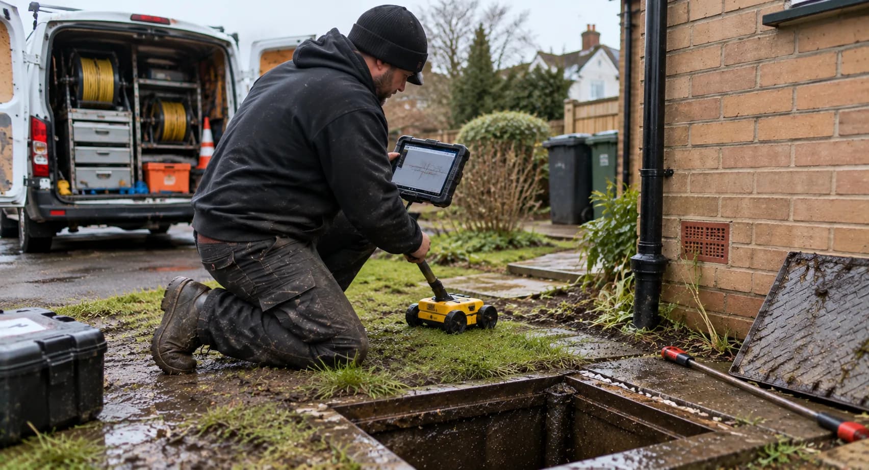
The second is a sonde: a small transmitter, usually built into the camera head. An engineer on the surface uses a receiver to find the sonde's signal, marks the line of the pipe on the ground and takes a depth reading. HSE guidance HSG47 explains why this matters: ordinary cable locators do not detect plastic or other non-metallic pipes unless a transmitter or tracing rod is pushed along the pipe, or a tracer wire was laid with it. Most drains are clay or plastic, so the sonde is how they are traced.
A typical mapping visit goes like this:
- Lift every cover we can find and note which pipes enter each chamber.
- Run the camera up each line, recording footage and distance.
- Trace the sonde from the surface, marking bends, junctions and depth.
- Find buried or lost chambers by tracing to them.
- Draw the plan: runs, chambers, depths and flow direction, with pipe materials and sizes noted.
A camera can't map a pipe it can't get through. If a line is blocked or full of silt, it needs clearing first, and very deep pipes or heavy ground can make depth readings less precise. A good report says where readings are approximate. HSG47 also warns that plans can show pipes as straight lines that in practice snake, which is one reason we trace rather than draw straight between covers.
When do you need a drain map?
Whenever a decision depends on where the pipe actually is. The common ones:
| Situation | Why the plan matters |
|---|---|
| Building an extension, garage or conservatory | Building within 3 metres of a public sewer needs the water company's approval. See building over a drain |
| Buying a house | Shows what you are taking on, including shared runs that aren't on the sewer map |
| Repairs or relining | The contractor needs exact distances and depths to quote and to dig in the right place |
| New connection or diverting a drain | You need to know the depth and fall of the existing run |
| Landscaping, patios and driveways | Avoids burying chambers or damaging shallow pipes |
| Recurring blockages or smells | Shows where runs join and which section is causing trouble |
| Disputes with neighbours or the water company | Shows which pipes are shared and therefore public |
If you can't find the chambers to begin with, our guide to inspection chambers and manholes has tips on locating them.
What do you get from a drain mapping survey?
Our CCTV drain surveys come with the footage, photos, a written report and a drain map, with defects coded to WRc MSCC5. The map shows each run between chambers, depths and the direction of flow. Our guide to reading a CCTV drain survey report explains the codes and grades.
Keep the plan with your house documents. It saves the next contractor time, and it helps you sell, because a buyer's surveyor can see what is there.
When to call a professional
Call us if you are about to build near a drain, your records don't show your own pipes, a cover has gone missing under a patio, or you have recurring blockages and nobody can say where the run goes. Don't dig to find a pipe: you risk damaging the drain or another buried service.
We map drains across Nottinghamshire, Derbyshire, Leicestershire and Lincolnshire, including CCTV drain surveys in Newark. Our CCTV drain surveys start from £149 + VAT, the drain map is included, there is no call-out fee and we agree the price before we start. We are open 7 days, 6am to 8pm.
Call 07300 600 950, book online or ask for a quote.
Sources
- legislation.gov.uk: Water Industry Act 1991, section 199 (sewer maps)
- digdat Utilities: FAQs on Severn Trent and Anglian Water asset maps
- Severn Trent Searches: residential CON29DW sample report (September 2026)
- gov.uk: Approved Document H, drainage and waste disposal (2015 edition)
- HM Land Registry: practice guide 40, supplement 5, title plans
- HSE: HSG47 Avoiding danger from underground services (third edition, 2014)
- Shropshire Council: building control document copy requests
- Newark and Sherwood District Council: building control
Frequently Asked Questions
Cite this guide: “How Do I Find Drainage Plans for My House? Drain Mapping Explained”, Urgent Drainage Solutions, 6 October 2026. https://urgentdrainagesolutions.co.uk/blog/find-drainage-plans-drain-mapping

Need A Drainage Engineer?Book Online Today